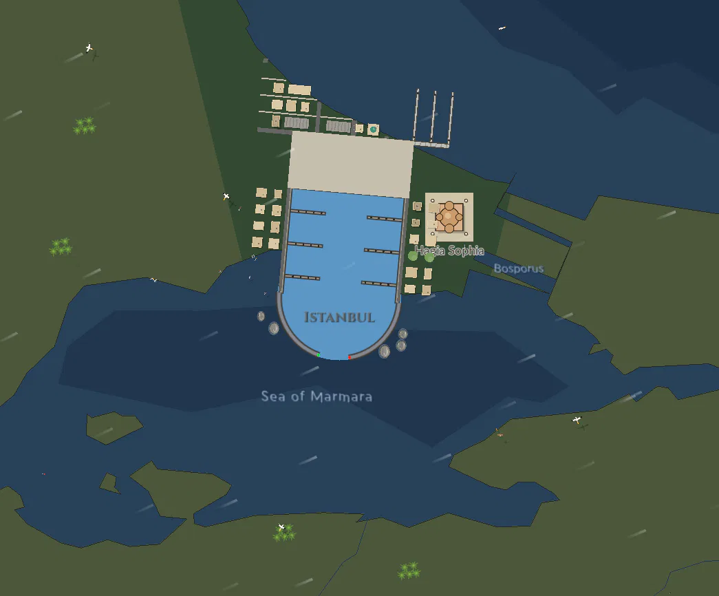
49 wonders of the world stand on the map at their real places: 21 man-made (the New 7 Wonders of the World: the Great Wall of China, Petra, Christ the Redeemer, Machu Picchu, Chichén Itzá, the Colosseum and the Taj Mahal; the Great Pyramid of Giza; and the Statue of Liberty, Eiffel Tower, Sydney Opera House, Stonehenge, Angkor Wat, the Moai of Easter Island, the Parthenon, Golden Gate Bridge, Burj Khalifa, Mount Rushmore, Sagrada Família, Hagia Sophia and St Basil's Cathedral), the 6 lost Wonders of the Ancient World drawn as they were, faded, where they stood (the Hanging Gardens of Babylon, the Temple of Artemis, the Statue of Zeus at Olympia, the Mausoleum at Halicarnassus, the Colossus of Rhodes and the Lighthouse of Alexandria), and 22 natural (the Seven Natural Wonders: the Grand Canyon, Great Barrier Reef, Harbor of Rio de Janeiro, Mount Everest, the Northern Lights, Parícutin and Victoria Falls; the New 7 Wonders of Nature: the Amazon Rainforest, Ha Long Bay, Iguazu Falls, Jeju Island, Komodo, the Puerto Princesa Underground River and Table Mountain; and Niagara Falls, Mount Fuji, Kilimanjaro, Uluru, Angel Falls, Yellowstone, the Salar de Uyuni and the Giant's Causeway).
Drawn on their own layer over the wildlife and under the marinas, ports and ships, each its size in the world, growing and shrinking with the map like the land, shown once 5 px across. The man-made ones are just the building or monument (no ground or water round them; the lost ones faded), and the natural ones drawn as they are. Each picture stands on its spot, moved just far enough that it never covers a port's marina (at its size now, a hub's bigger), even zoomed right in: straight away from the port, or the nearest way round that's still on land (the Colosseum beside Rome, Christ the Redeemer inland of Rio). Four follow their real course: the Great Wall of China as a strip of grey brick wall from Jiayuguan to Shanhaiguan (7 km wide), its battlements along the north side and a watchtower every 40 km, its brick courses and walkway once it's wide enough; the Grand Canyon as a layered red gorge along the Colorado from Lees Ferry to the Grand Wash Cliffs with the river blue at its bottom; the Great Barrier Reef as reefs every 45 km strung along Queensland out to sea, each a pale lagoon in a ring of coral; and the Northern Lights as curtains of green (purple at their tops) rising 260 km over Lapland, bright at night and faint by day. Names show under them (or over them, clear of the ports' names) once they're 42 px across (the ones along a course once 120 km is). The Golden Gate Bridge and Ha Long Bay are drawn in more detail than the rest, with no background of their own over the map's water (it read as a blue square at night; the other wonders that stood on blue lost theirs too): the bridge a little bigger than life (36 km), its orange towers and portal struts, cables and suspenders, the grey roadway with lanes and cars, the anchorages and the shadows on the water; the bay's limestone islands with sheer grey cliffs, forest on top and pale beaches, and junks under red battened sails among them. At night they light up. Ha Long Bay's picture stands out in the bay itself, east of Hai Phong's marina.
Click one for its popup: its picture and name, what kind of wonder it is and where ("Man-made wonder · Egypt", "Ancient wonder, now lost · Greece"), when it was built, formed or is best seen, and a fact. Clicking one checks it off in the field guide's new Wonders tab (man-made, lost ancient and natural, each with its picture, country, when and fact; the field guide's header says "0 of 121 animals · 1 of 49 wonders seen"), and the achievements have a line for it: Wonders of the world, wonders seen, stars at 10, 25 and all 49.
 Maritime Empire